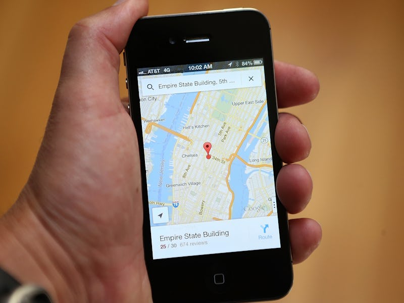
How Google and Apple Maps Changes in a Year, in GIFs

Mapping apps, just like the world they reflect, are always in flux. But the changes are often so incremental, the average person doesn’t notice.
Map expert Justin O’Beirne is not an average person. He’s worked on maps at Apple, written about maps for years, and this week, he published the results of a 13-month app-tracking project that compares the changes in Apple and Google Maps between May 2016 and May 2017.
His essay, which includes dozens of still images and GIFs of the evolving maps, provides a deep analysis of the changes over time. It’s fascinating stuff.
While there’s hours worth of material to probe here, from road data to the color schemes of the maps, perhaps the most interesting result of O’Beirne’s project is how it illuminates the differences in approaches by Google and Apple.
The images clearly show that over the past year, Google Maps has been rapidly evolving, but Apple’s interface looks largely the same as it did last May.
O’Beirne writes that this is likely evidence of the success of Google’s street mapping project. The first Street View vehicles were launched in the United States 10 years ago this week, on May 25, 2007. Within seven years of the launch, Google Street view had mapped 99 percent of U.S. roads. Since then, Google’s street team has been rapidly expanding around the world, collecting more street-level images of stores, homes, and blurred-out pedestrians ambling about, as well as new positioning data. All of this likely gives Google Maps more — and better — information to work with compared to its numerous geospatial mapping competitors.
Apple, meanwhile, relies on the Dutch company TomTom for its basic map layers. The company, which also provides maps for Uber, is investing in mapping for autonomous cars and other important innovations. But it hasn’t yet made up for those lost years, when Google’s grip on the mapping app market was growing tighter.
Here is how Google Maps and Apple Maps changed Patricia’s Green in central San Francisco over the course of a year.
See also: The 3 Best Transportation Maps — That Aren’t Google Maps